New
Temperatuur
New
Cluster GFS ENS
New
Neerslag
New
Cloud Forecast P
Regio - KNMI - Harmonie/Arome
Overzicht
Subregion
- Benelux
- Europa NW
- Nederland
- Noordwesten-Duitsland
Parameter - KNMI - Harmonie/Arome
Neerslag/Bewolking
- Totale sneeuw
- Bewolking (Laag)
- Bewolking (Middelb.)
- Bewolking (Hoog)
- Bewolking (Totaal)
Temperatuur
- Temperatuurkaart (2m)
Archief - KNMI - Harmonie/Arome - Dauwpunt P
Model
1
2
3
4
5
6
7
8
9
10
11
12
13
14
15
16
17
18
19
20
21
22
23
24
25
26
27
28
29
30
31
32
33
34
35
36
37
38
39
40
41
42
43
44
45
46
47
48
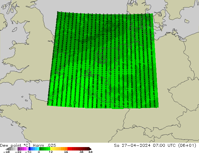
Dauwpunt KNMI - Harmonie/Arome Model
Model:
HARMONIE 40(HARMONIE-AROME Cy40) from the Netherland Weather Service
Ververst:
4 times per day, from 06:00, 12:00, 18:00, and 00:00 UTC
Greenwich Mean Time:
12:00 UTC = 14:00 MEZT
Resolutie:
0.025° x 0.037°
Parameter:
Dauwpunt op 2 meter hoogte
Beschrijving:
Het dauwpunt is de temperatuur, waartoe de lucht bij gelijkblijvende
luchtdruk en vochthoeveelheid afgekoeld moet worden, om verzadiging (mist)
te krijgen.
Het dauwpunt levert verschillende gegevens op.
Het dauwpunt levert verschillende gegevens op.
- Passeren tijdens de nachtperiode geen fronten dan geeft het dauwpunt van de avond ongeveer de minimumtemperatuur van de nacht aan.
- Ligt de avondtemperatuur dicht bij het dauwpunt dan is mistvorming waarschijnlijk.
- Uit het verschil tussen temperatuur en dauwpunt kan via een vuistregel de wolkenbasis worden bepaald ( (temperatuur-dauwpunt)×120 in meters ).
- Verder geeft het dauwpunt aanwijzingen over de droogeigenschappen en de comfortzones voor mens en dier. Vanaf een dauwpunt van circa 20 graden wordt het weer als drukkend en benauwd ervaren.
HARMONIE:
HARMONIE-AROME The non-hydrostatic convection-permitting HARMONIE-AROME model is developed in a code cooperation of the HIRLAM Consortium with Météo-France and ALADIN, and builds upon model components that have largely initially been developed in these two communities. The forecast model and analysis of HARMONIE-AROME are originally based on the AROME-France model from Météo-France (Seity et al, 2011, Brousseau et al, 2011) , but differ from the AROME-France configuration in various respects. A detailed description of the HARMONIE-AROME forecast model setup and its similarities and differences with respect to AROME-France can be found in (Bengtsson et al. 2017). [From: HIRLAM (2017)]
NWP:
Numerical weather prediction uses current weather conditions as input into mathematical models of the atmosphere to predict the weather. Although the first efforts to accomplish this were done in the 1920s, it wasn't until the advent of the computer and computer simulation that it was feasible to do in real-time. Manipulating the huge datasets and performing the complex calculations necessary to do this on a resolution fine enough to make the results useful requires the use of some of the most powerful supercomputers in the world. A number of forecast models, both global and regional in scale, are run to help create forecasts for nations worldwide. Use of model ensemble forecasts helps to define the forecast uncertainty and extend weather forecasting farther into the future than would otherwise be possible.
Wikipedia, Numerical weather prediction, http://en.wikipedia.org/wiki/Numerical_weather_prediction(as of Feb. 9, 2010, 20:50 UTC).
Wikipedia, Numerical weather prediction, http://en.wikipedia.org/wiki/Numerical_weather_prediction(as of Feb. 9, 2010, 20:50 UTC).
Times:
available
selected
available (previous base)
not available
Advertentie